COMMERCIAL DRONE SERVICES
Visual Survey / Mapping / Modelling / Health & Safety Inspection / More...
Drone Photography & Videography
For many years the process of carrying out surveys, inspections, and mapping assets has been costly and highly inefficient to conduct, workers can often be placed in dangerous situations or spending valuable time to provide essential reports. Drones are a cost effective and safe solution for all of these complications and NIDrones can help you increase business efficiencies by implementing the use of drones and move you into the next generation of asset monitoring and mapping.
Drones give us the ability to provide you with stunning photography and videography in a unique way at an affordable price, our professional team will work with you to showcase your products and services whilst keeping a customer-centric focus.
Property
Photography & Videography
NIDrones provides stunning aerial views of your property, our skilled pilots know exactly how to get that professional shot our clients are looking for.
We use the most up to date equipment along with post processing and editing techniques we will get you exactly want you need from the air.
Drone Inspection
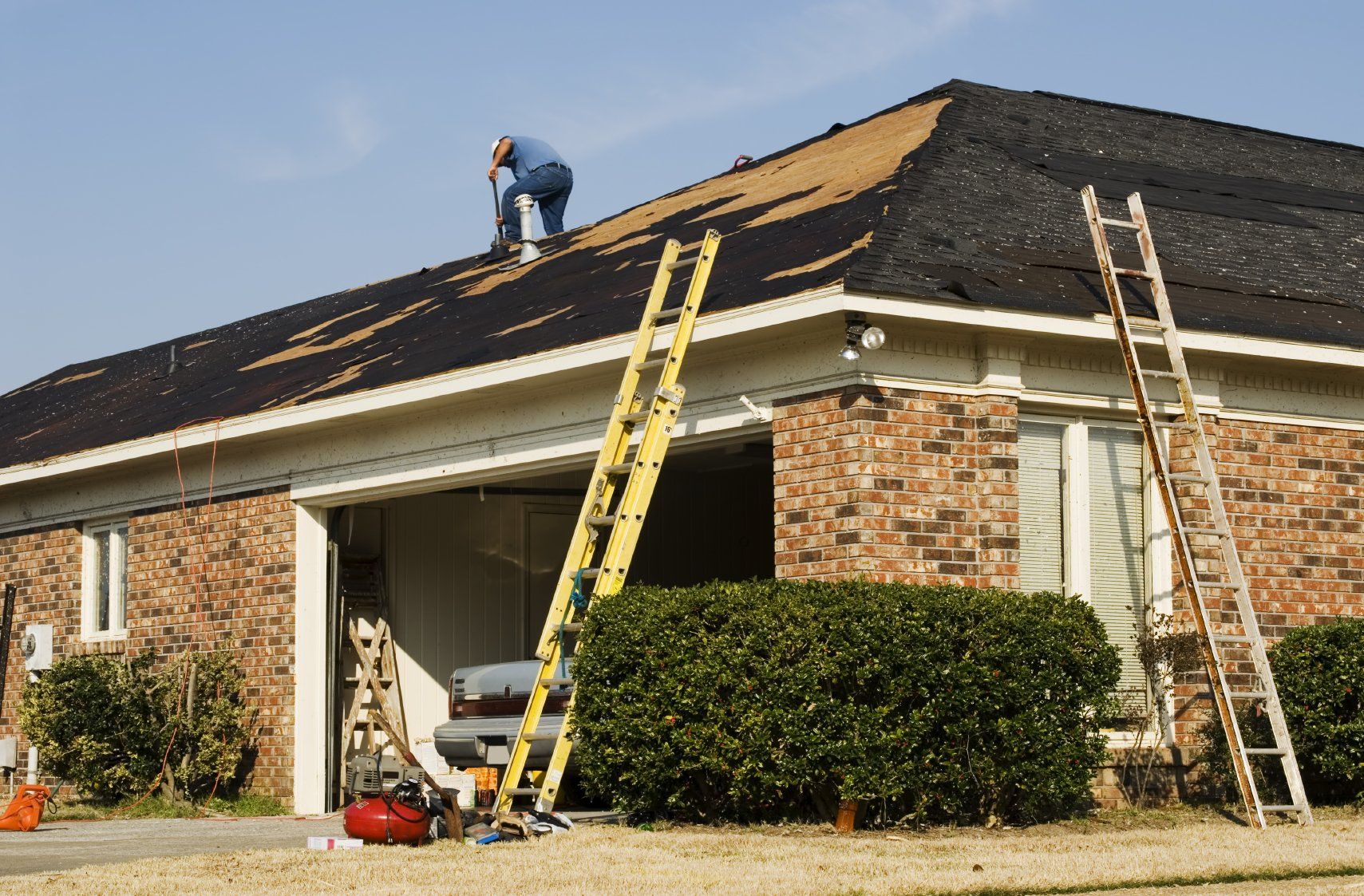
Roof & Chimney / Construction sites / Machinery / Insurance
Working at heights can create complex challenges in terms of Occupational Health & Safety especial in remote or hazardous areas and can cause possible downtime.
Drone Inspections remove many of this challenges, NIDrones UAVs carry high quality camera, allowing our pilots to get close to any object and capture it in Ultra High Definition, we also run obstacle avoidance and stabilisation software, this allows our UAVs to operate in close proximity to inaccessible areas for inspections. Our drones can launch within minutes, flying directly to where they are need and carry out any operation.
Want more information Contact us
Mapping & Surveying
2D / 3D / VOLUME ESTIMATION
Today UAVs have the ability to create high resolution and accurate imagery, perfect for mapping and land surveying. This data can also be used for volume estimation in construction, landfill and quarry sites.
NIDrones pilots can launch within minutes after arriving on site, collecting the data and provide you with it in a user-friendly interface within hours.
Our drones are programmed to fly in a pre-planned pattern designed to each location, this can be perfect for time-lapse and progression analysis. The imagery taken by our drones is geo referenced so you can see the exact location of points of interest on you site. This can be extremely helpful in calculating volume estimation and elevation modelling.
Aerial Progression
Construction / Environment / Infrastructure
Aerial progressions or time-lapse photography is a technique used to take imagery at the same location and height over a set period of time, this allows the viewer to see the changes that have occurred periodically.
This can be used to show the progression of a construction project to clients, stockholders, contractors, and other interested parties.
Aerial Progressions can also be used to map the grow and degradation of the environment or the effects of the environment on infrastructure.


